
Cape Girardeau County
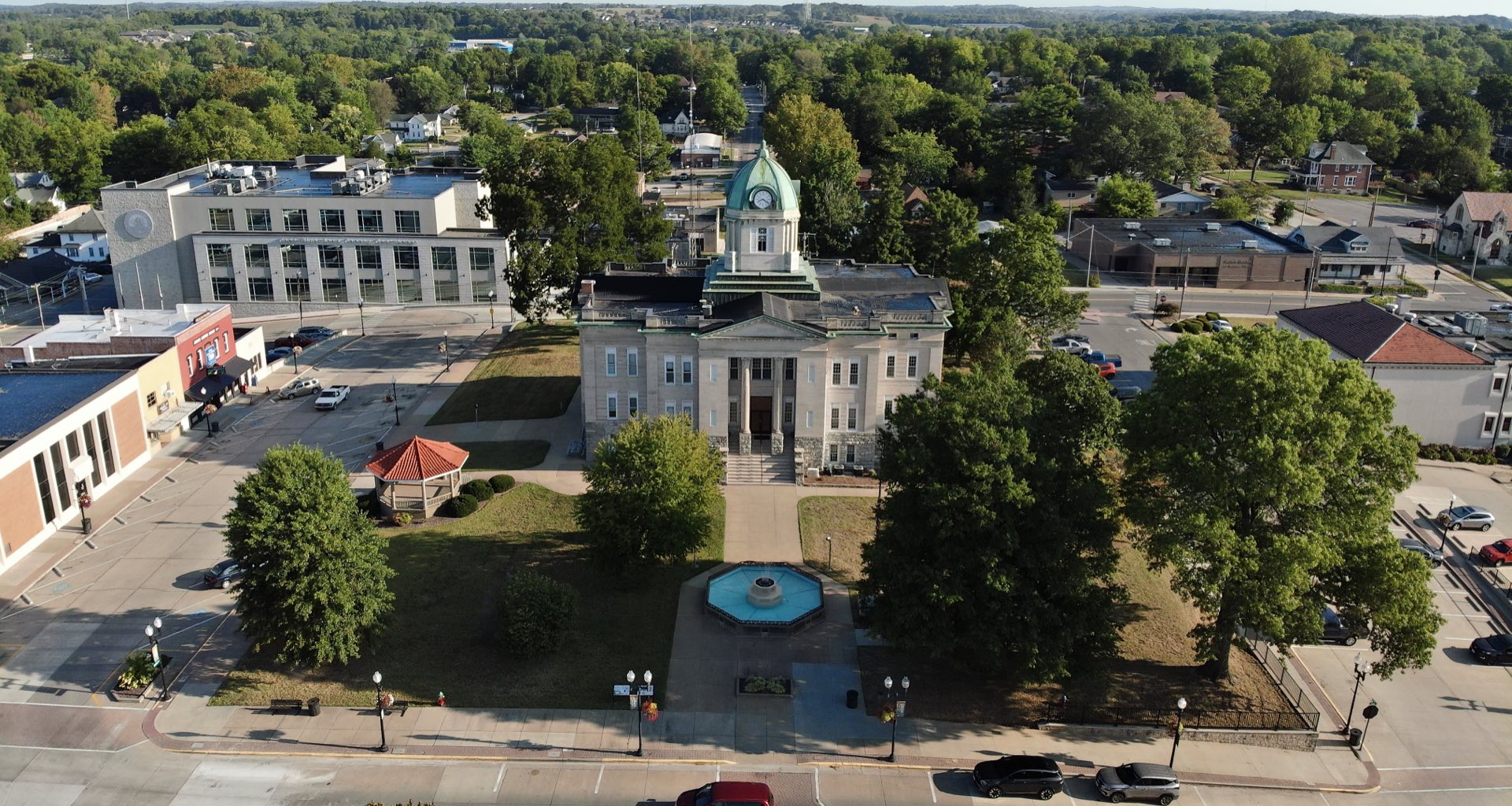
Cape Girardeau County is a county located in Southeast Missouri in the United States. As of the 2010 U.S. Census, the county’s population was 75,764. While the largest city in the county is Cape Girardeau, the county seat is actually Jackson, which was the first city named in honor of President Andrew Jackson [1]. The county was officially organized on October 1, 1812 and is named after Ensign Sieur Jean Baptiste de Giradot, a French official. The “cape” in the county’s name is named after a promontory rock overlooking the Mississippi River.
Cape Girardeau County is the central hub of the Cape Girardeau–Jackson, MO-IL Metropolitan Statistical Area.
Data for Cape Girardeau County
Data for Cape Girardeau County
County Maps
The Cape Girardeau County Web maps are hosted and administered by the Office of the County Assessor. The link below will take you to the Cape Girardeau County Web Applications which are not part of the semogis.com website. These web applications are maintained by the GIS staff at Cape Girardeau County, and any questions or requests should be made to them using the contact information below.
Cape Girardeau County Parcel Map
Contact Information
Cape Girardeau County Assessor
assessor@capecounty.us
573-243-2468
The City of Cape Girardeau maps are hosted and administered by the city’s GIS Department in coordination with all city departments. The link below will take you to the City of Cape Girardeau’s interactive web map portal page which is not part of the semogis.com website. These web applications are maintained by the GIS staff at the City of Cape Girardeau, and any questions or requests should be made to them using the contact information below.
City of Cape Girardeau Interactive Maps
Contact Information
City of Cape Girardeau GIS Department
mapping@cityofcapegirardeau.org
573-339-6327
- City Utilities (requires login)
- FEMA Flood Map
- Ward Map
- Zoning Map
- Major Street Plan
- City Cemetery
Supported Web Browsers:
- Google Chrome
- Microsoft Edge (does not include Edge Legacy)
- Mozilla Firefox
- Safari
(Only WebGL-enabled, 64-bit browsers are supported.)
Troubleshooting:
If you’re having trouble viewing the web maps, please consider the following.
ESRI maps require a browser that supports WebGL, which is essential for loading the maps properly. If your browser doesn’t support WebGL, you may encounter issues when accessing the maps.
To check if your browser has WebGL enabled, visit WebGL Test. (You should see a spinning cube.)
If your browser does not support WebGL, please update your browser or switch to one that does.
Thank you for your understanding.
Supported Web Browsers:
- Google Chrome
- Microsoft Edge (does not include Edge Legacy)
- Mozilla Firefox
- Safari
(Only WebGL-enabled, 64-bit browsers are supported.)
Troubleshooting:
If you’re having trouble viewing the web maps, please consider the following.
ESRI maps require a browser that supports WebGL, which is essential for loading the maps properly. If your browser doesn’t support WebGL, you may encounter issues when accessing the maps.
To check if your browser has WebGL enabled, visit WebGL Test. (You should see a spinning cube.)
If your browser does not support WebGL, please update your browser or switch to one that does.
Thank you for your understanding.
The following web browsers are supported:
- Google Chrome
- Microsoft Edge (does not include Edge Legacy)
- Mozilla Firefox
- Safari Only WebGL-enabled, 64-bit browsers are supported
Supported Web Browsers:
- Google Chrome
- Microsoft Edge (does not include Edge Legacy)
- Mozilla Firefox
- Safari
(Only WebGL-enabled, 64-bit browsers are supported.)
Troubleshooting:
If you’re having trouble viewing the web maps, please consider the following.
ESRI maps require a browser that supports WebGL, which is essential for loading the maps properly. If your browser doesn’t support WebGL, you may encounter issues when accessing the maps.
To check if your browser has WebGL enabled, visit WebGL Test. (You should see a spinning cube.)
If your browser does not support WebGL, please update your browser or switch to one that does.
Thank you for your understanding.