
Madison County
Madison County is a county located in the Lead Belt region in Southeast Missouri in the United States. As of the 2010 U.S. Census, the county’s population was 12,226. Its county seat and largest city is Fredericktown. The county was officially organized on December 14, 1818, and was named after President James Madison.
Mining has been a key industry in this area with Madison County recorded as having the oldest lead mine west of the Mississippi River.
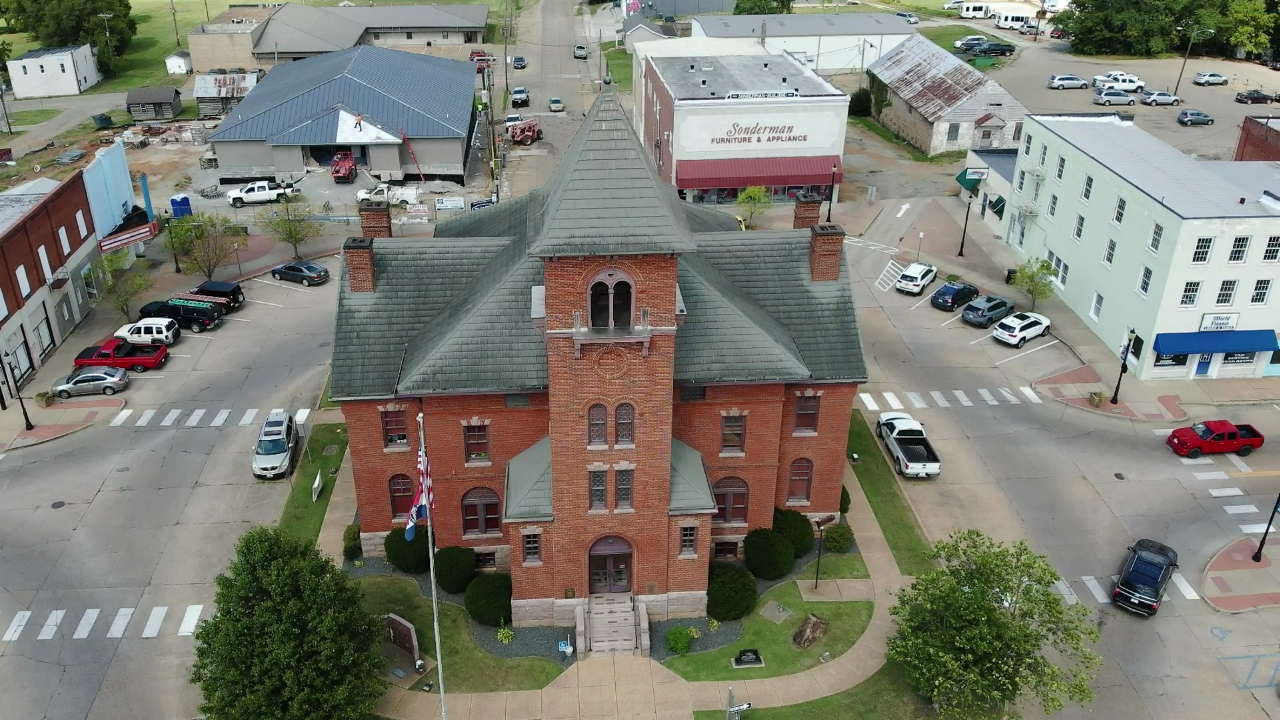
Data for Madison County
Data for Madison County
County Maps
The Madison County Assessment Map is hosted and administered by the Office of the County Assessor. The link below will take you to the Madison County Property Viewer Web Application which is not part of the semogis.com website. This web application is maintained by the Madison County Assessor’s office, and any questions or requests should be made to them using the contact information below.
Contact Information
Madison County Assessor
573-783-2176 x6
Supported Web Browsers:
- Google Chrome
- Microsoft Edge (does not include Edge Legacy)
- Mozilla Firefox
- Safari
(Only WebGL-enabled, 64-bit browsers are supported.)
Troubleshooting:
If you’re having trouble viewing the web maps, please consider the following.
ESRI maps require a browser that supports WebGL, which is essential for loading the maps properly. If your browser doesn’t support WebGL, you may encounter issues when accessing the maps.
To check if your browser has WebGL enabled, visit WebGL Test. (You should see a spinning cube.)
If your browser does not support WebGL, please update your browser or switch to one that does.
Thank you for your understanding.