
Perry County
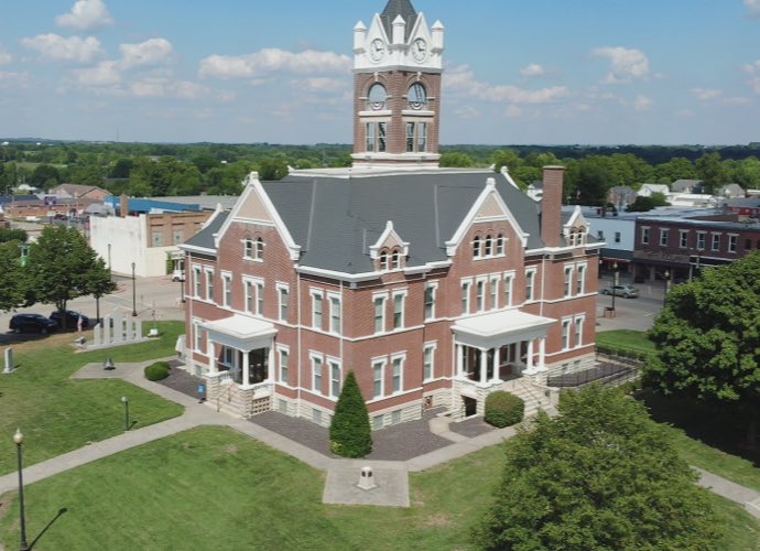
Perry County is a county located in Southeast Missouri in the United States. As of the 2010 U.S. Census, the county’s population was 18,971. Its county seat is Perryville. The county was officially organized on November 16, 1820 (effective January 1, 1821) from Ste. Genevieve County and was named after Oliver Hazard Perry, a naval hero of the War of 1812.
Data for Perry County
Data for Perry County
County Maps
The following maps are available for Perry County:
- Cities
- Fire Service Areas
- Lakes
- Parcels
- Polling Places
- Railroads
- School Districts
- Subdivisions
- Voting Districts
County Fire Department Districts & Areas
FEMA Flood Zones
Supported Web Browsers:
- Google Chrome
- Microsoft Edge (does not include Edge Legacy)
- Mozilla Firefox
- Safari
(Only WebGL-enabled, 64-bit browsers are supported.)
Troubleshooting:
If you’re having trouble viewing the web maps, please consider the following.
ESRI maps require a browser that supports WebGL, which is essential for loading the maps properly. If your browser doesn’t support WebGL, you may encounter issues when accessing the maps.
To check if your browser has WebGL enabled, visit WebGL Test. (You should see a spinning cube.)
If your browser does not support WebGL, please update your browser or switch to one that does.
Thank you for your understanding.
Maps for the City of Perryville
- Major Street Plan
- Wards
- Zoning
- Composite Map
- Major Street Plan
- Parcels
- Polling Places
- Subdivisions
- Wards
- Zoning
Supported Web Browsers:
- Google Chrome
- Microsoft Edge (does not include Edge Legacy)
- Mozilla Firefox
- Safari
(Only WebGL-enabled, 64-bit browsers are supported.)
Troubleshooting:
If you’re having trouble viewing the web maps, please consider the following.
ESRI maps require a browser that supports WebGL, which is essential for loading the maps properly. If your browser doesn’t support WebGL, you may encounter issues when accessing the maps.
To check if your browser has WebGL enabled, visit WebGL Test. (You should see a spinning cube.)
If your browser does not support WebGL, please update your browser or switch to one that does.
Thank you for your understanding.
- Utility Composite Map
- City Easements
- Natural Gas System
- Stormwater System & Sinkholes
- Sanitary Sewer System
- Water System
Supported Web Browsers:
- Google Chrome
- Microsoft Edge (does not include Edge Legacy)
- Mozilla Firefox
- Safari
(Only WebGL-enabled, 64-bit browsers are supported.)
Troubleshooting:
If you’re having trouble viewing the web maps, please consider the following.
ESRI maps require a browser that supports WebGL, which is essential for loading the maps properly. If your browser doesn’t support WebGL, you may encounter issues when accessing the maps.
To check if your browser has WebGL enabled, visit WebGL Test. (You should see a spinning cube.)
If your browser does not support WebGL, please update your browser or switch to one that does.
Thank you for your understanding.